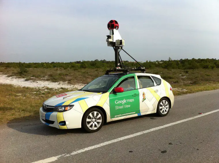
Google Street View service is Google’s 360-degree real-time shooting service for almost all roads and streets provided to specific city users. According to foreign media Neowin, the Indian government rejected Google’s proposal to provide this service on a larger scale on Tuesday. Previously, the Indian government allowed restrictions on the use of Google Street View services in certain tourist areas.
In 2015, Google submitted an application to the Indian government for the first time, hoping to launch Google Street View fully. Google tried again in 2016, but at that time due to some security issues, the Indian government rejected the company’s request. Because in January 2016, an Air Force base in Pathankot, India, was attacked by highly armed terrorists who allegedly used Google Maps to navigate nearby.

Image: PCB Daily
At that time, the Indian Parliament also intended to promote a bill, the “Geo-Spatial Information Surveillance Act” (GIRB), which plans to impose fines and imprisonment on those who publish unauthorized map data on the Internet. This move faced severe opposition from the public and even other government departments. The bill was eventually withdrawn.
This is not the first time that Indian leaders have had negative views on surveying and mapping technology. As early as 2005, former Indian President Abdul Kalam provided sensitive data for established locations to ordinary users and those with more sinister motives. Expressed dissatisfaction and advocated the government’s supervision of this information.
However, the Indian government seems to be adopting double standards for some companies. Although WoNoBo Street View service also faces similar regulatory hurdles from the Indian government, WoNoBo has been fully operational in many major cities throughout India since the second half of 2013. WoNoBo parent company Genesys is responsible for providing Nokia and Microsoft with local map data for their map services and has claimed to work with the government to ensure that the service does not conflict with existing laws.
“For street view, the government, including the Defence Ministry and the Survey of India, threw a lot of regulations at us. We painstakingly fulfilled their requirements , including not taking pictures in sensitive areas.”
– Sajid Malik, co-founder of Genesys Int. Corp., in 2013
It is also worth noting that the Indian Bureau of Surveying and Mapping and the Indian Ministry of Science and Technology launched a portal called Nakshe in 2017 that allows free download of the country’s topographic data, but citizens need access to this data using Aadhaar numbers. Aadhaar is India’s plan to record all citizens’ biometric information in a consolidated database.